Picture this: you find a canal-front home in Marathon with a perfect view and a shiny dock. You imagine morning runs to the reef or sunset cruises through Boot Key Harbor. Then your surveyor tells you the canal shoals at low tide and the nearby bridge sits lower than your T-top. Frustrating and expensive. The good news is you can avoid surprises by matching your vessel to the canal and route before you make an offer. In this guide, you will learn the buying basics that matter most for boaters in Marathon, plus a practical checklist you can use on any listing. Let’s dive in.
Why depth and draft matter
Waterway fit is a core feature of a Keys waterfront home. If your boat’s draft or air-draft does not match the canal depth and bridge clearances, you may face detours, slip fees, or even dredging. You also want safe, predictable transit to open water for your typical boating day. The goal is simple: confirm that the canal, route, and regulations suit your vessel and how you plan to use it.
The three essential checks
Confirm depth at MLLW
Most charts and professional surveys show depths at Mean Lower Low Water. That is the typical lowest tide level used as a reference. Actual water depth on a given day equals charted depth plus the current tide height. In the Keys, tidal range is modest, but it still matters for shallow canals and private docks. Ask for a recent sonar or bathymetric survey that references MLLW and review expected low tides with official tide predictions.
Map your route and bridges
Draft is the distance from the waterline to the deepest part of your boat. Air-draft is the distance from the waterline to the highest fixed point. You need both. Identify your route from the dock to open water, note every bridge along the way, and confirm each published clearance against your boat’s air-draft at the highest likely tide. Some spans are fixed and low. Others may open on a schedule. Verify the authority, route, and clearances before you buy.
Know who maintains dredging
Canals shoal over time. Some are maintained by a homeowners’ association or local government. Others are private, which can put dredging costs and permits on the owner. Dredging in the Keys is regulated and must account for environmental protections like seagrass and manatee zones. Before you commit, learn who is responsible for maintenance, when dredging last occurred, and how it was permitted and paid for.
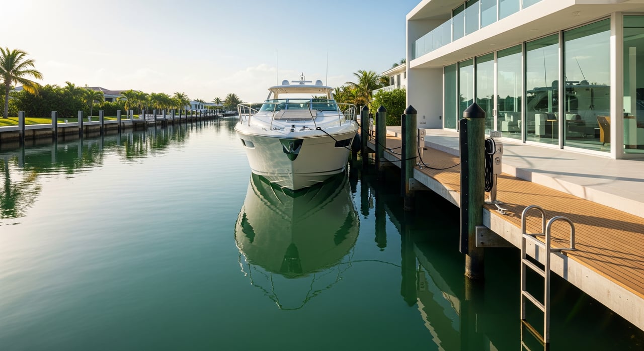
Marathon waterfront patterns
Marathon offers several common setups for boaters:
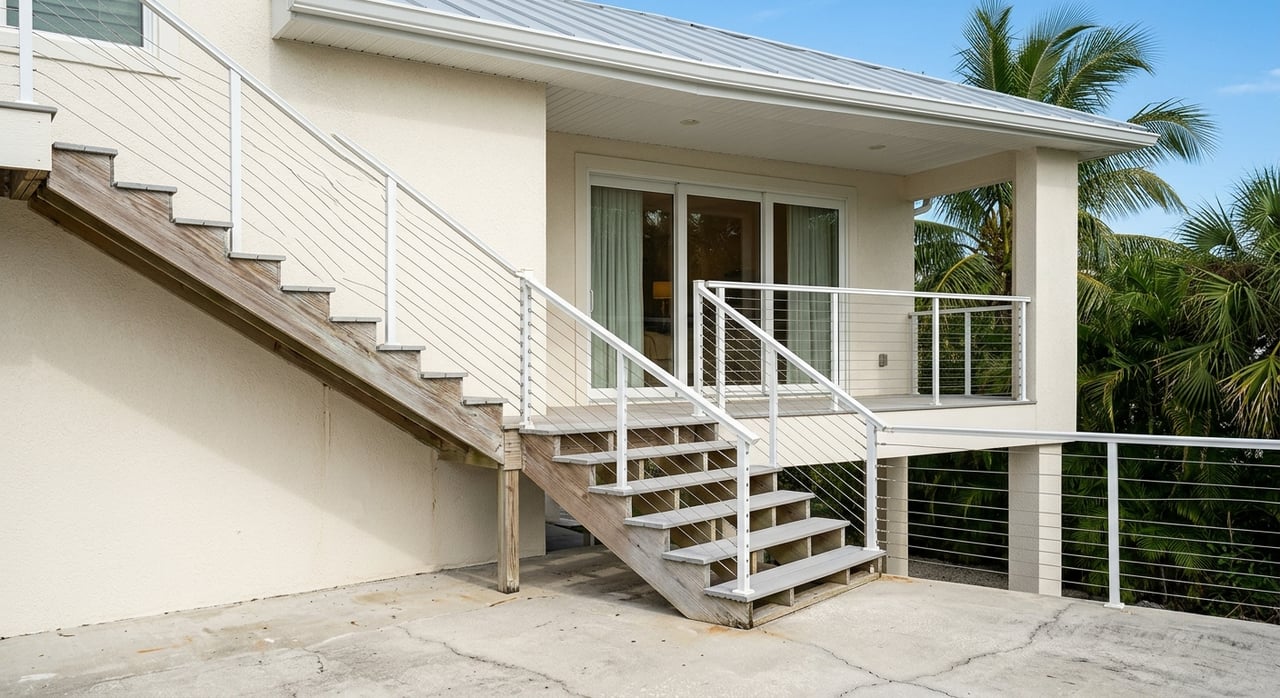
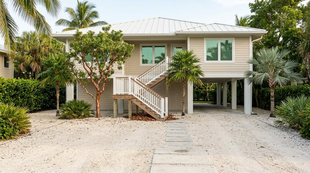
- Canal neighborhoods with private docks. These often have narrow fairways and variable depths that can favor skiffs and center consoles.
- Properties on protected harbors, including areas around Boot Key Harbor. Wider water, more room to maneuver, and no-wake zones to consider.
- Oceanfront or bayfront parcels. Immediate access to open water and more exposure to wind and weather, which can mean heavier-duty marine infrastructure.
Depths and navigability vary by neighborhood. Do not rely on marketing claims alone. Verify with current charts, recent surveys, and local authorities.
Marina or home dock?
Using a marina slip can be a smart alternative when a canal’s depth, width, or route does not fit your vessel. Evaluate:
- Slip availability, cost, and waitlists
- Haul-out, storage, and maintenance services
- Travel time from the property to the slip
- Insurance requirements and hurricane plans
If you love a property but the canal is marginal for your boat, a marina-based plan can protect your time and budget.
Buyer checklist before you offer
Ask the seller or listing agent
- A recent sonar or bathymetric survey of the dock and access channel, referenced to MLLW
- The last dredging date, who performed it, and who paid
- Recorded easements or restrictions that affect water access
- Copies of permits for dredging, bulkhead work, or docks
- Any known insurance or permit issues related to docks or moorings
Hire the right professionals
- Marine surveyor or licensed hydrographic surveyor to confirm depth at mean low water and check for obstructions near the dock
- Coastal or marina engineer for scope and costs if dredging or dock work may be needed
- Local harbormaster or marina manager for real-world guidance on routes, shoaling, and local rules
- Title or easement attorney to review access rights and maintenance obligations
Test practical scenarios
- Draft at mean low water: vessel draft plus the lowest expected tide
- Bridge clearance at peak high water: published clearance minus the highest expected tide
- Maneuvering: canal width, turning basin presence, and room to dock safely
If you plan to upgrade to a larger boat, repeat these tests with your future specs.
Budget and permits
- Dredging can be expensive and time-consuming to permit
- Work may require federal, state, and local approvals as well as environmental mitigation
- Confirm how your insurance treats the vessel, the dock, and any liveaboard or slip rental plans
A quick case study
You are eyeing a canal-front home and own a midsize center console. Marketing says “deep water.” You request a recent sonar survey and learn the entrance shoals near low tide. You then map the route and discover a fixed bridge on the shortest path. After comparing the clearance to your air-draft, you realize you need to pass near mid-tide or take a longer route. You ask the seller about dredging history and find out the HOA handles maintenance on a set schedule, with homeowner assessments when needed. With facts in hand, you proceed confidently and adjust your offer strategy to match the property’s true boating utility.
Data sources and contacts
For parcel-specific decisions, consult authoritative sources:
- NOAA Office of Coast Survey for charts and electronic navigational charts
- NOAA Tides and Currents for tide predictions and datum details
- U.S. Army Corps of Engineers for dredging permits and authorization records
- Florida Department of Environmental Protection for dredge and fill permitting and environmental rules
- Monroe County and the City of Marathon for local permitting, harbormaster guidance, GIS, and maintenance history
- U.S. Coast Guard for Local Notices to Mariners and marine safety information
- Local marinas and boatyards in Marathon for slip options, practical routes, and shoaling insights
- Licensed marine surveyors and coastal engineers in the Keys for site-specific surveys and cost estimates
Smart alternatives to consider
- Boat lifts sized for your hull when canal depths support it
- A smaller tender or skiff for shallow local runs
- Dry storage or trailer options for seasonal use
- A dedicated marina slip for the primary vessel, with the home dock used for day boats or water toys
Work with a trusted local advisor
Selecting the right waterfront home in Marathon is not just about the view. It is about aligning canal depth, bridge clearances, and maintenance responsibilities with your boating goals. With boutique, concierge-level guidance and a vetted network of local marine professionals, you can make a confident, informed decision. If you want a tailored plan for your vessel and lifestyle, connect with Ally Kelley for a private consultation.
FAQs
What does canal depth at MLLW mean?
- It is the depth measured at Mean Lower Low Water, a tidal reference; actual depth on any day equals the charted depth plus the current tide height.
How do Marathon bridges affect sailboats?
- Identify your exact route to open water, find each bridge’s published clearance, then compare to your sailboat’s air-draft at high tide and confirm any opening schedules.
Who pays if a canal needs dredging after purchase?
- It depends on recorded maintenance responsibility; verify if the HOA, municipality, or private owner handles dredging and review permits and past assessments.
Can I keep a 4-foot draft trawler at a canal home?
- Many residential canals favor shallower-draft boats; confirm your trawler’s fit with a recent sonar survey, charted MLLW depths, and local input on shoaling.
Are there liveaboard or anchoring restrictions in Marathon?
- Yes; Monroe County and the City of Marathon regulate liveaboards, moorings, and anchoring, and there are manatee and seagrass protections that affect operations.